
Several severe thunderstorm watches and warnings have been issued for counties in South Carolina and continue to affect the area in what is a big weather threat to South Carolina. Issued by meteorological and emergency management authorities, these alerts are useful warnings to help communities prepare for dangerous weather. Knowing what these alerts indicate, the risk, and what to do about them can help keep your family and property safe.
What Do Severe Thunderstorm Alerts Mean?
Severe thunderstorm warnings are set by the meteorological agencies for alerting the public to dangerous weather conditions that could pose imminent threats to life and property. These alerts are of two types:
Severe Thunderstorm WATCH: A watch means severe thunderstorms are possible to form in an area. This alert is to remind residents to stay alert and prepared for severe weather. Watches are usually across multiple counties and range from 2 to 6 hours.
Severe Thunderstorm WARNING: This is a warning that severe thunderstorms are imminent or actively occurring, based on a radar system. A WARNING indicates that damaging winds, large hail or dangerous lightning are taking place or predicted to take place in the warned area. Warnings call for residents to take immediate protective measures.
Why South Carolina Is Particularly Vulnerable
South Carolina’s geographic and climatic characteristics make it especially susceptible to frequent thunderstorms. The state’s south-eastern positioning into the United States means it’s in a collision zone between warm, moist air from the Gulf of Mexico and cooler, drier air from the north. This interaction fosters conditions favorable for developing storms quickly.
In addition, the state is located along the coast, has flat terrain, and is close to the major bodies of water which further intensify the risk of severe weather. These conditions can lead to multiple severe thunderstorm watches and warnings being issued for south carolina counties, and can cover large areas. The humid subtropical climate of the state also plays a role in the severity and occurrence of thunderstorms.
Read also: Best Smart Locks 2025: Top Picks for Ultimate Home Security Systems
Common Hazards and Risks
Some of the most hazardous weather features associated with severe thunderstorms are:
Hazardous Winds: Winds over 58 mph will significantly damage buildings, trees and down power lines. These downed obstacles may clog roads, impact safe driving and hinder emergency response.
Large Hail: Hail, while not as prevalent as other severe weather hazards, can inflict significant damage on crops, vehicles, roofs and windows. Hailstones can be small pellets or golf ball size or larger and can do serious damage to property.
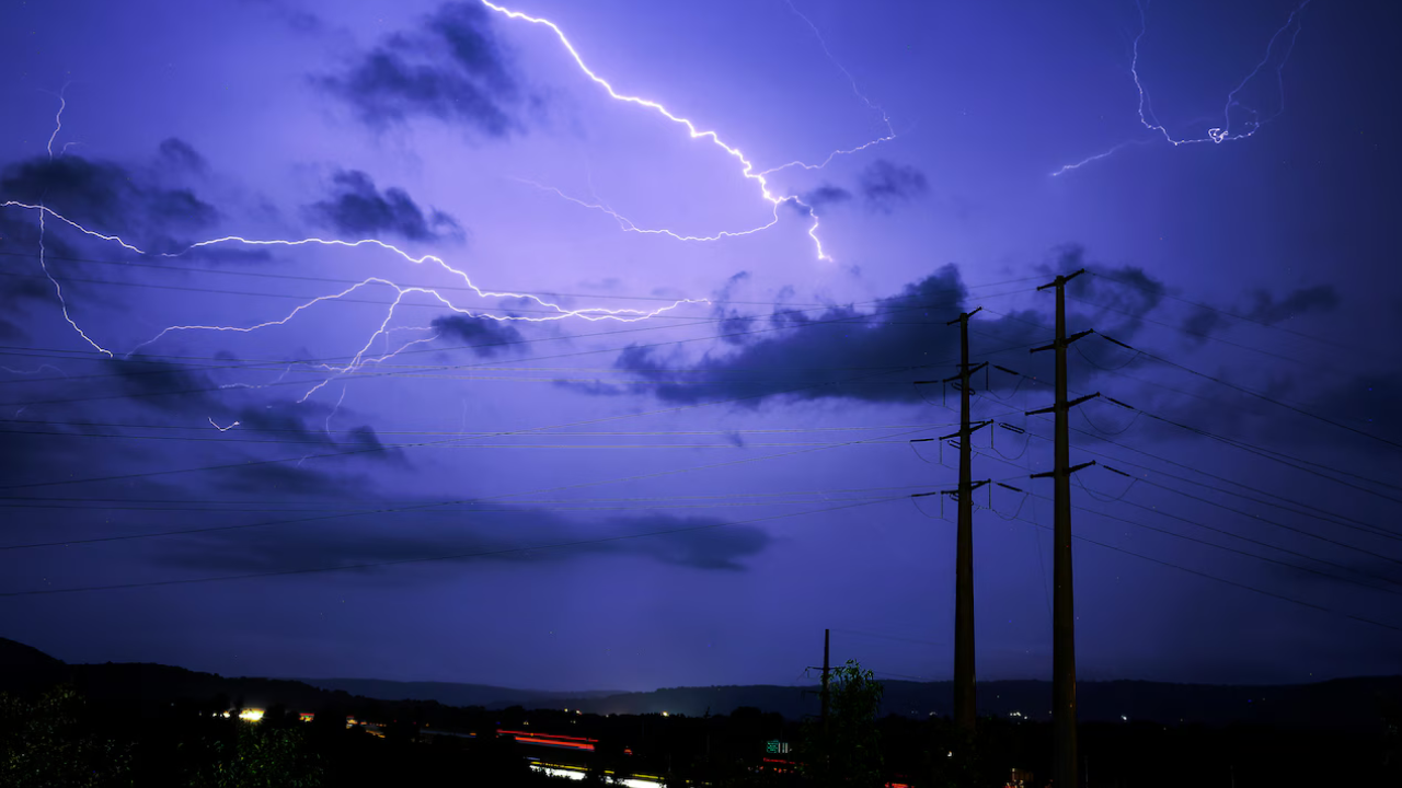
Sudden fires, injuries and power outages are caused by lightning strikes, which are still a big safety threat during thunderstorms. When lightning is seen in the vicinity, outdoor events are often canceled.
Essential Preparation and Safety Measures

If more than one county in South Carolina has been issued a severe thunderstorm WARNING, people should take action now:
- Listen to the weather on a variety of sources such as radio, TV and internet apps.
- Prepare a disaster supply kit with water, non-perishable food, flashlights, batteries and first aid kit.
- Tie down items outdoors that may fly.
- Locate a safe place at home where you can take shelter (basement or inside bathroom, away from windows)
- If you are told to evacuate, do so as soon as possible.
Technology and Modern Alert Systems
The accuracy and timeliness of alerts has greatly improved with advances in meteorological technology. Radar can now identify early development of storms, and satellite data and storm tracking allows meteorologists to warn well ahead of time. Wireless Emergency Alerts (WEA) are vital and will provide timely information directly to smartphones that are in the coverage area.
Final Word
With a number of severe thunderstorm warnings being issued in recent weeks across South Carolina, it’s important to be ready and watchful. Such alerts are lifesaving and enable residents to take protective action before the onset of hazardous weather. Communities in South Carolina can reduce risk and prepare for severe weather by being aware of alert differences, knowing their region’s vulnerabilities, and taking proper action. Be informed, be prepared and follow local emergency advice when advised to do so.
FAQs
1. How much notice is generally given to the residents?
Severe thunderstorm WATCHES are issued 2-6 hours before the threat of severe thunderstorms reaching the area and WARNINGS are issued with 10-15 minutes of warning.
2. When a severe thunderstorm WARNING is issued, what shall I do?
Go to an interior room away from windows, doors, stay inside and watch the news about the weather.
3. Why are several counties impacted at the same time?
Weather systems can reach a wide geographic extent; weather patterns can affect multiple contiguous counties at once.
4. How do I get notifications on my mobile?
Enable Wireless Emergency Alerts (WEA), download weather apps and sign up for local news alerts.
5. Is climate change increasing storm frequency?
Increased storm intensity and frequency are thought by some meteorologists to be due to global warming and changing weather patterns.
Read more: Corporate Software Inspector: How It Powers Cybersecurity